
Mapping informal waterfront settlements at risk of demolition
Mapping informal waterfront communities in the Niger Delta facing the threat of demolition.
Geospatial work across the Niger Delta, for communities, researchers, government and industry.
Community mapping, environmental assessment, flood risk and public health, mostly in the Niger Delta.
Mapping informal waterfront communities in the Niger Delta facing the threat of demolition.
 Social impact
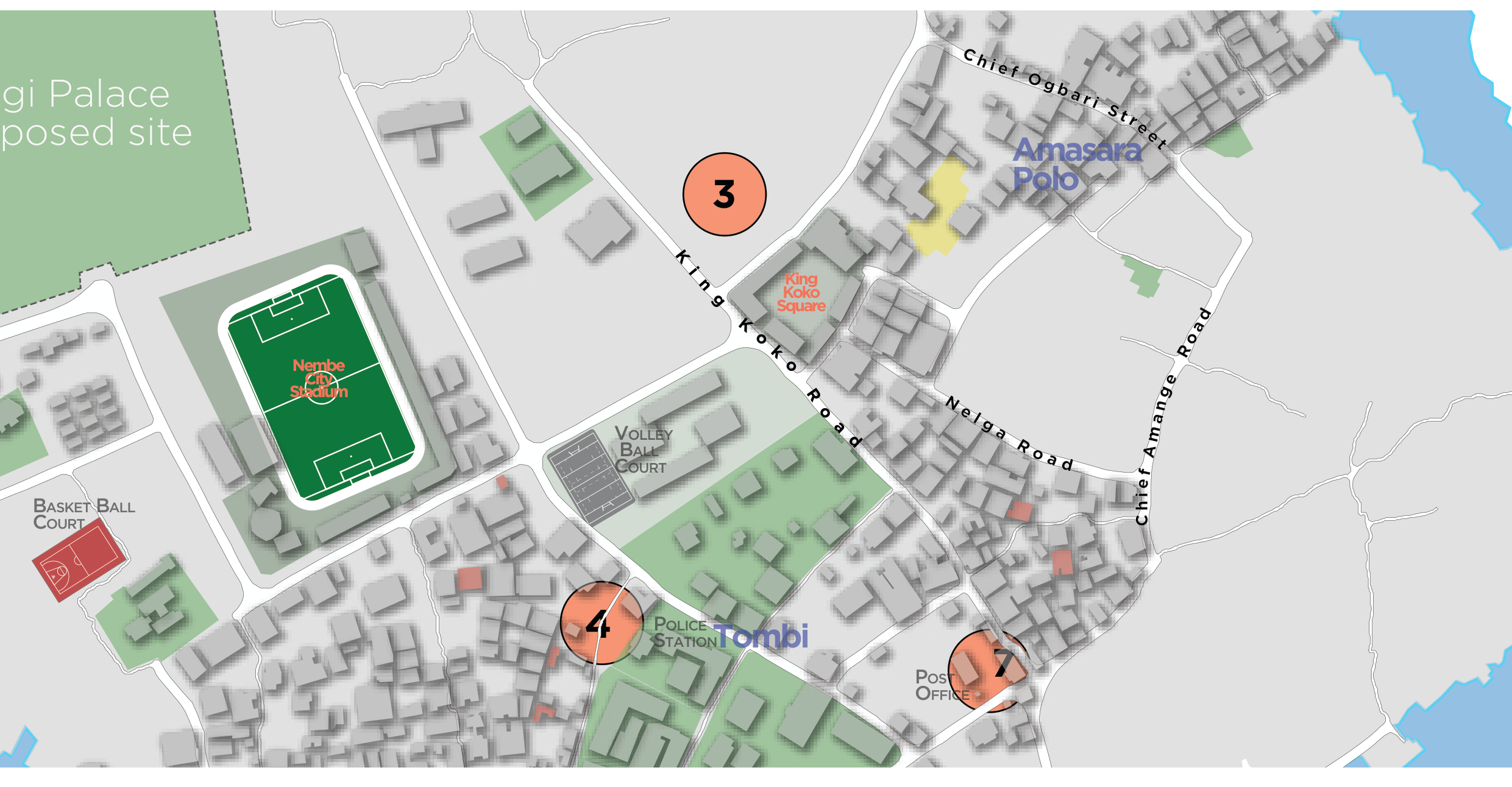
Pro-bono community mapping of landmarks, public facilities and points of interest on Nembe Island.
Geospatial support to environmental impact management following the KS Endeavor incident at Koloama.
Spatial analysis for the environmental impact assessment of Brass LNG's proposed area of operation.
Geospatial mapping in support of hydrocarbon pollution remediation in the Niger Delta.
Geospatial input to flood-vulnerability planning for Port Harcourt under the U.S. Department of State's MAP PH project.
 Social impact
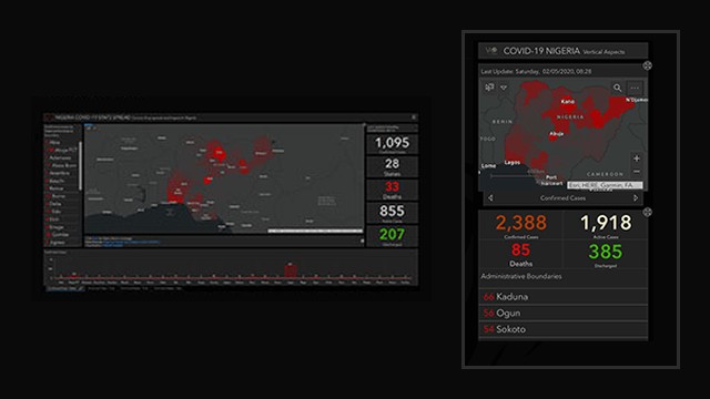
An interactive dashboard mapping COVID-19 by state across Nigeria from 2020 to 2022, updated every day with data from the Nigeria Centre for Disease Control (NCDC).
When the 2022 floods cut road access across Bayelsa and emergency services could not reach many communities, we built and published a reporting system that put displaced people's camps, needs and status on the map.
Mapping power distribution assets and network connectivity across three states.
Work we have proposed: some is awaiting a funding decision and some did not go ahead. We list it to show the problems we are ready to take on, not as completed projects.
Our proposal to serve as geospatial and technical-assessment partner to CAPws on an ecosystem-based adaptation project for mangroves and coastal communities in the Niger Delta and Gulf of Guinea.
A proposal to map air quality across Port Harcourt for the Rivers State Ministry of Environment. The project was not carried out.